
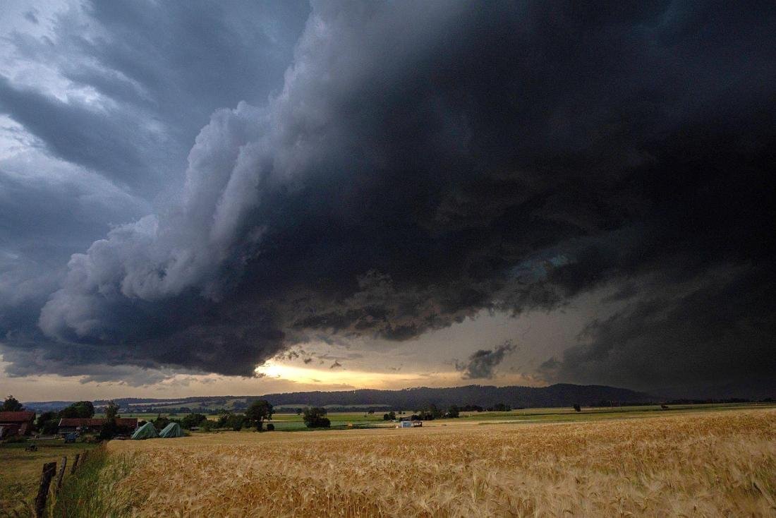
The heat bell tears deep and hits Germany with full force
Follow us on Google
The heat bell has cracked. A low from the north is pushing against it, with consequences for all of Germany until the weekend.
Germany has been simmering under a blanket of heat for weeks. But the picture is changing. A storm front is working its way from the north and is encountering air that has been heating up for days. What follows is not a smooth transition, the German Weather Service has already warned. Anyone who is out and about these days should keep an eye on the sky.
The German Weather Service (DWD) (via ZDF today) has already issued severe weather warnings for parts of Germany for Tuesday, July 14th. The center and south of the country in particular have to expect strong thunderstorms. According to the DWD, heavy rain of 25 to 40 liters per square meter within a short period of time is possible, and in some cases even extreme heavy rain with over 40 liters. There are also severe gusts of up to 90 km/h and hailstones up to three centimeters in diameter. In the west and southwest, the weather service also warns of severe heat pollution.
Hail like snow: The first storms hit northern Germany hard
What happened that night shows that such warnings are not an empty threat. In the Ludwigslust-Parchim district in Mecklenburg-Western Pomerania, the hail was so heavy that wheel loaders had to be brought in to clear the hail. The West Mecklenburg control center said it looked like winter snowfall The time with. Around 168 emergency calls were received there within an hour. Vehicles and roofs were also damaged in Lower Saxony. The fire brigade was called out around 600 times across the country.
A change in the general weather situation is responsible for the weather change. A low over the Bay of Biscay is approaching central Europe and is making the atmosphere increasingly unstable weather.com explained. At the same time, the previously dominant high pressure area is shifting towards the Baltics. According to the DWD, in the middle of the week the temperatures remain at 27 to 33 degrees, mid-summer, but no longer extreme. The risk of showers and thunderstorms will continue to increase over the weekend, particularly in the south. The rest of Europe can’t calm down either – devastating forest fires are raging in popular holiday regions due to the extreme heat.
So the heat wave doesn’t collapse suddenly, but rather crumbles. According to the DWD, the weather remains “at a summery level”, while DWD meteorologist Nico Bauer even recommends visiting the outdoor pool for Wednesday, July 15th: “Put on your sunglasses, put on your swimming trunks and go to the outdoor pool or the nearby swimming lake,” said Bauer ZDF today. Whether the hot summer will turn into a real heat wave remains to be seen for the time being. Curious: Of all things, the centenary calendar was exactly right when it came to the weather in July.